Methane Airborne Detection Solution

Methane Airborne Detection Solution

for the Oil & Gas Industry

Watch video

Workflow

PREFLIGHT

Determine which infrastructure to survey: production and/or transmission.
Give us your coordinates, we’ll manage the rest.

DURING FLIGHT

During aerial surveys, our hyperspectral sensor captures infrared and visible imagery data.
Powerful real-time algorithm analyses the IR data for the presence of methane.
Significant emissions detected will be reported to the operator.

POSTFLIGHT

Collected infrared data is thoroughly processed and analysed by Telops’ gas detection specialists.
Deliverables include:
  • High-resolution visible and geo-referenced infrared imagery for the complete flight.
  • Complete list of all detections with GPS pinpoints and times of identification
  • Full detection report including plume imagery, size and location.

INCREASE YOUR COVERAGE. SAVE TIME AND MONEY.

Reduce costs.

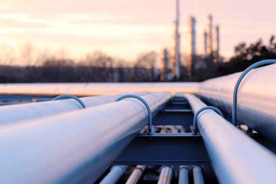
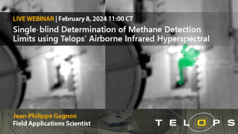
Find leaks faster and avoid unnecessary costly ground deployments. Survey your complete installations more efficiently with Telops’ Methane Airborne Detection Solution. Our small and lightweight sensor can adapt to different types of aircrafts, keeping operational costs to a minimum.

Be regulatory compliant.

Get accurate gas concentration results you can trust and meet new compliance requirements for less.

Identify & quantify leaks.

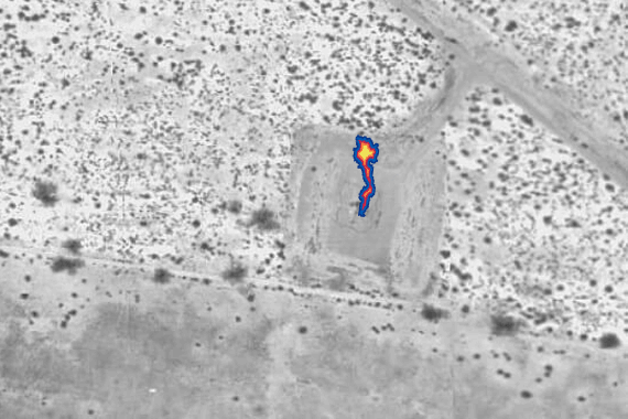
Plan your maintenance easily with our clear and actionable reports about the locations of methane emissions. Obtain real-time visualization and identification of detected emissions. Minimize false alarms and reduce maintenance budget.

Detect multiple gases.

Our system can not only detect methane, but also other gases of interest, like hydrocarbons, NO2, SO2, as well as many other VOCs.

FEATURES.

Our system is easily integrated into different types of aircrafts. Moreover, it adapts autonomously to the ever-changing flight conditions in order to ensure optimal data collection.
It is fully flexible and features two survey modes tailored to your needs.

PIPELINE TRACKING MODE

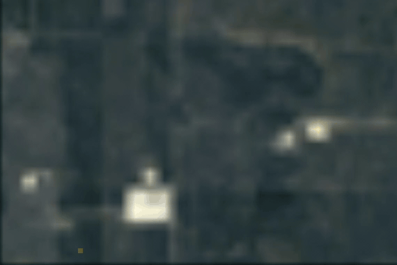
This is the most efficient mode for the transmission sector.

WIDE SWATH MAPPING MODE

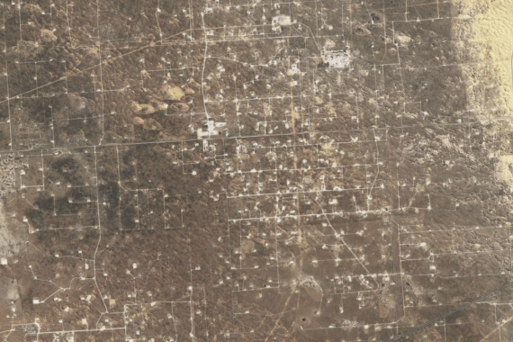
Use this mode for high coverage and efficiency when you need to survey your production sector.

REACH OUT

We value open communication and are here to assist you. Whether you are an oil and gas company, a potential service partner or a regulator society we are committed to addressing your inquiries and providing the necessary support. Get in touch with us by requesting info below:

Past webinar
08-02-2024
Telops’ Hyper-Cam Airborne Mini is an aircraft-based remote sensing system to detect and quantify methane emissions. The system is based on thermal infrared hyperspectral imaging technology. The performance of the system was recently evaluated in a single-blind controlled methane release experiment in partnership with the Alberta Methane Emissions Program (AMEP) and LiDAR Services International (LSI). Join Field Application Engineer Jean-Philippe Gagnon for an in-depth look into the operating principles of Telops’ Methane Airborne Detection Solution as well as an overview of obtained results and assessed methane detection limits for a wide range of atmospheric conditions and gas release rates.

Join Jean-Philippe Gagnon from Telops and Jim Cormack, from LSi Intl, for this virtual event.
Click here to register!
Past event
04-10-2023
The CH4 event in Colorado promotes exchange of ideas from leading thought leaders, academic researchers, industry experts, regulators, policymakers, and environmental advocates. Speakers will address current research on methane emissions, technologies to detect and mitigate emissions, policy and regulatory frameworks, and business implications and opportunities.

Our certified partner

Canada & USA

LiDAR Services International (LSI)

Calgary, Alberta 1-888-870-9972

SkyCam Aviation, Inc.

California, United States +1 925-449-2206